

Google Earth Studio
FreemiumAnimate Earth's imagery for cinematic storytelling with Google Earth Studio.
About Google Earth Studio
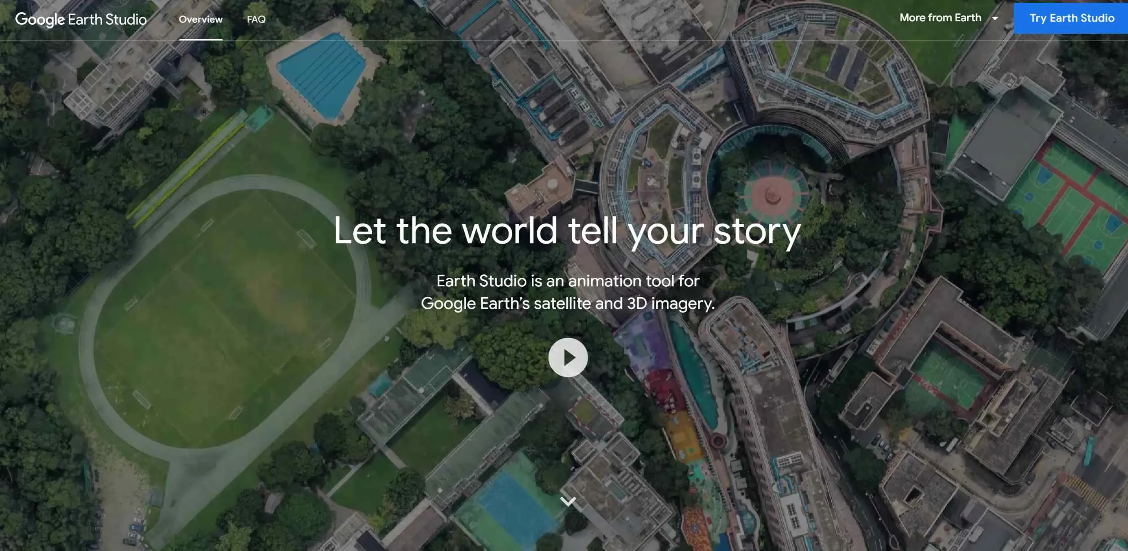
Google Earth Studio is an advanced animation tool that utilizes Google Earth's extensive satellite and 3D imagery to create stunning, cinematic animations and videos. It provides creators, educators, and professionals with the ability to tell stories with a geographical context, leveraging the visual power of our planet's landscapes and cityscapes.
Key Features
- Keyframe Animation: Utilizes keyframes to animate camera movements and the globe itself, similar to industry-standard animation software.
- Quick-Start Templates: Offers up to five templates for quick creation of animations such as orbits or point-to-point flights, suitable for users without prior animation experience.
- Animatable Effects: Allows users to animate attributes like the sun's position and the camera's field of view, adding depth and realism to scenes.
- 3D Camera Export: Supports camera export to Adobe After Effects for post-production enhancements such as adding map labels and pins.
Pros
- Immersive Storytelling: Provides a unique platform for creating compelling narratives with a geographic element.
- Ease of Use: Intuitive interface and templates make it accessible for beginners and professionals alike.
- High-Quality Imagery: Leverages Google Earth's high-resolution satellite and 3D imagery for stunning visuals.
- Free to Use: Available at no cost, making it accessible for educators and content creators on a budget.
Cons
- Browser Limitations: Works only with the desktop version of Google Chrome, limiting accessibility for users of other browsers.
- Learning Curve: While user-friendly, mastering all features may take some time.
- Export Options: Limited to Adobe After Effects for camera export, which may not suit all users' workflows.
Use Cases
- Filmmakers and Animators: For creating dynamic backdrops and establishing shots in films and animations.
- Broadcast Media: Used to enhance news stories with visual context and geographical imagery.
- Educators: Employed as a teaching tool to make geography and history lessons more engaging and interactive.
- Marketing Professionals: Utilized to craft compelling visual narratives in promotional materials and advertisements.
- Uncommon Use Cases: Urban planners use it for visualizing city development projects, while environmentalists employ it to illustrate the impact of climate change.
Pricing
Free Access: Google Earth Studio is available for free, but access must be requested via a Google account. Disclaimer: For the most accurate and current details on accessing Google Earth Studio, please refer to the official website.
What Makes It Unique
Google Earth Studio seamlessly integrates real-world geography with professional animation tools, offering a groundbreaking resource for creating geographic visual content. Its ability to animate real-world phenomena adds a level of realism that enhances storytelling.
Ratings
Accuracy and Reliability: 4.8/5 Ease of Use: 4.5/5 Functionality and Features: 4.7/5 Performance and Speed: 4.6/5 Customization and Flexibility: 4.3/5 Data Privacy and Security: 4.9/5 Support and Resources: 4.7/5 Cost-Efficiency: 5.0/5 Integration Capabilities: 4.4/5 Overall Score: 4.7/5
Key Features
Pros & Cons
- Immersive Storytelling: Provides a unique platform for creating compelling narratives with a geographic element.
- Ease of Use: Intuitive interface and templates make it accessible for beginners and professionals alike.
- High-Quality Imagery: Leverages Google Earth's high-resolution satellite and 3D imagery for stunning visuals.
- Free to Use: Available at no cost, making it accessible for educators and content creators on a budget.
- Browser Limitations: Works only with the desktop version of Google Chrome, limiting accessibility for users of other browsers.
- Learning Curve: While user-friendly, mastering all features may take some time.
- Export Options: Limited to Adobe After Effects for camera export, which may not suit all users' workflows.
Best For
Alternatives to Google Earth Studio
TextIt
Build, launch, and manage SMS and messaging flows with TextIt. Ideal for outreach, surveys, and communication at any scale.
Hot Reach AI
Personalized AI-Generated First Lines for Cold Emails
Brandmate
Elevate Your Brand's Image with Brandmate AI!
ReplyPilot
ReplyPilot automates your social media replies using AI. Analyze and personalize text, image, and video responses across multiple platforms.
Contlo.AI
AI-Powered Digital Marketing Solutions for Small Businesses
Fliz AI
Discover Fliz AI, an innovative platform that enhances marketing efforts through AI-powered automation. Boost conversions, personalize campaigns, and optimize your strategy with ease.